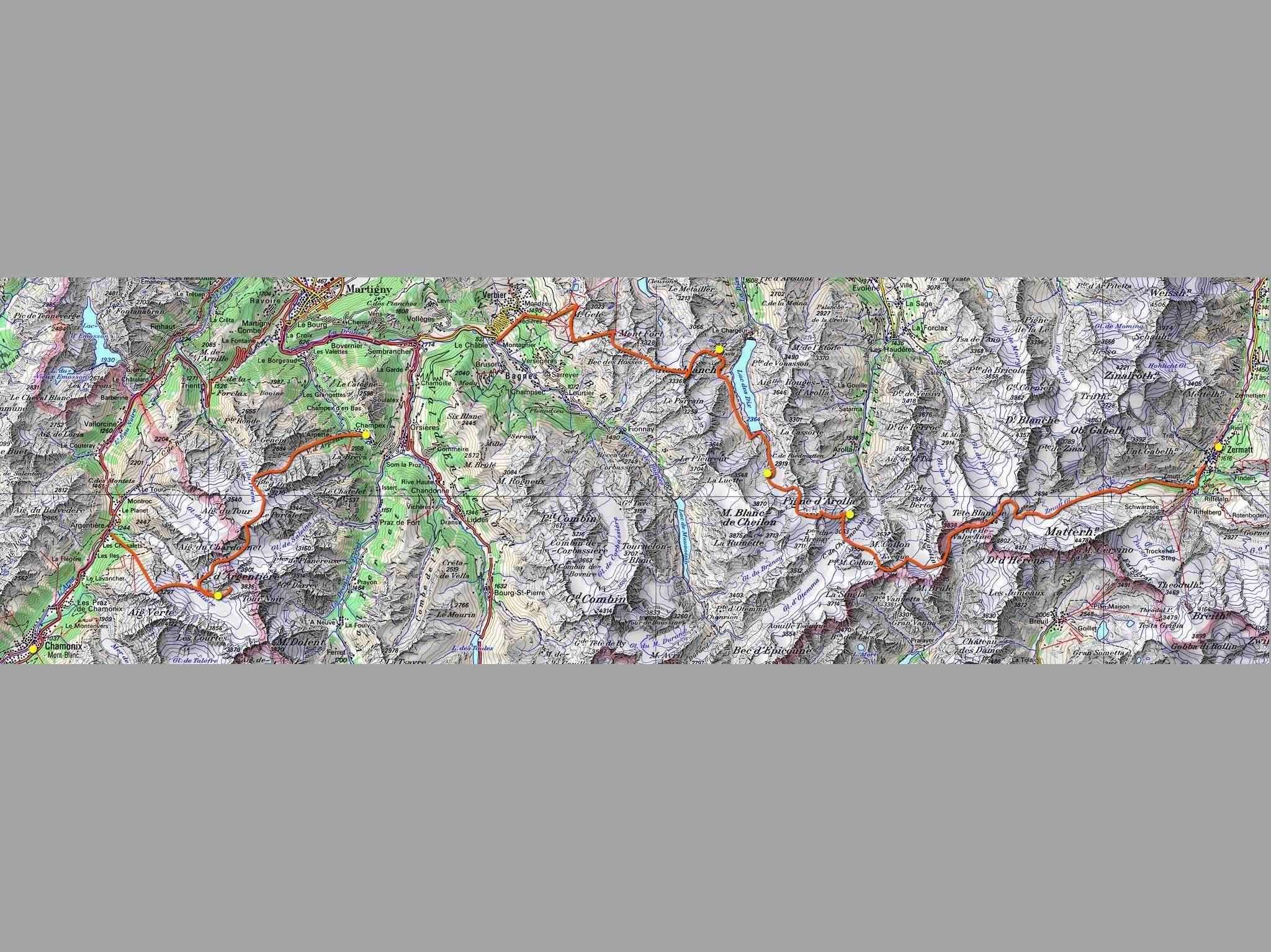
The Haute Route is a spectacular and demanding summer hike: a strenuous high-level traverse in the French and Swiss Alps, walking from Chamonix (France) to Zermatt (Switzerland) in 10 to 12 days.
The route traverses below the summits of 10 out of the 12 of the highest peaks in the Alps, and crosses several high passes. The highest pass is at 2964 m (9,800 ft).
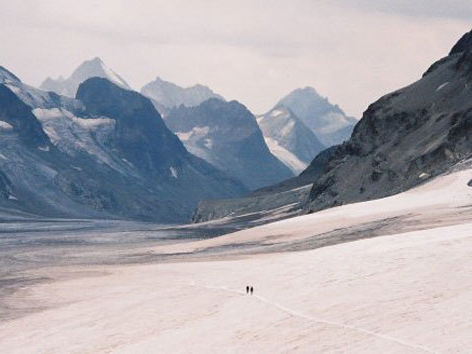
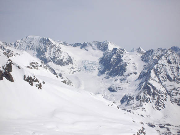
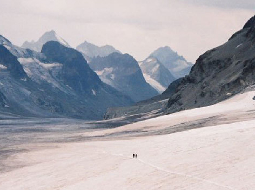
This is a world of glaciers and towering, snow-capped peaks. The Haute Route also meanders through green alpine valleys with flower-covered meadows and picture-book villages. This is a trek of contrasts.
The route passes through the centre of both the French and Swiss Alps: two distinct cultural regions with different languages and architecture.
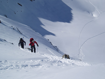
The Haute Route Chamonix to Zermatt is a remote trek. Take a tent, or sleep in a mountain hut or a refuge. One or two nights could be spent in valley hotels to catch up on hot showers.
In general, mountain huts and refuges are open from mid-June until the first or second week in September. It is advisable to reserve a bed, particularly in the high season of mid July to mid August.
The early season (June-mid July) is the quietest and most beautiful but beware of old snow on the higher paths which could be icy and dangerous and would make crampons and ice axe essential.
Zermatt is probably one of the most beautiful alpine villages in the world. Nestled just beneath the famous East face of the Matterhorn, the village is at 1600m (5,250 ft). Cars are not allowed in the village so the air is always clean and the streets quiet.
How fit do I need to be? Comfortable with hiking 25 km a day and climbing 1200 m (ie walking 15 miles a day and climbing 4000 ft). Acclimatisation takes 3 or 4 days, so start slowly until your body adjusts to having 25% less oxygen in the air.
Check our list of Guides Services & Mountain Guiding Services and hire a Trek leader or a mountain guide.