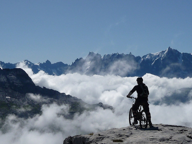
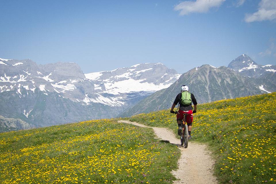
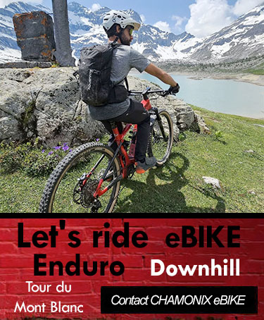
The Tour of Mont Blanc (TMB) is the circumnavigation of the Mont Blanc massif. It's an absolutely spectacular ride passing glaciers, crossing high mountain passes and traversing the frontiers of France, Switzerland and Italy.
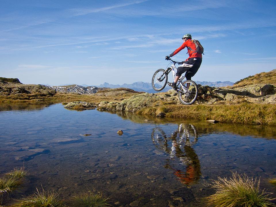
Originally a walker's route, it is becoming a popular tour for mountain bikers. There are a lot of tracks in each valley and many variations possible; half on road - half on track - fully on road - fully on track. The classic Walker's route has a lot of unrideable parts and does involve a lot of carrying (especially the Col du Bonhomme and La Bovine sections).
Take care on some of the mountain tracks on steep slopes. A fall here may have serious consequences.
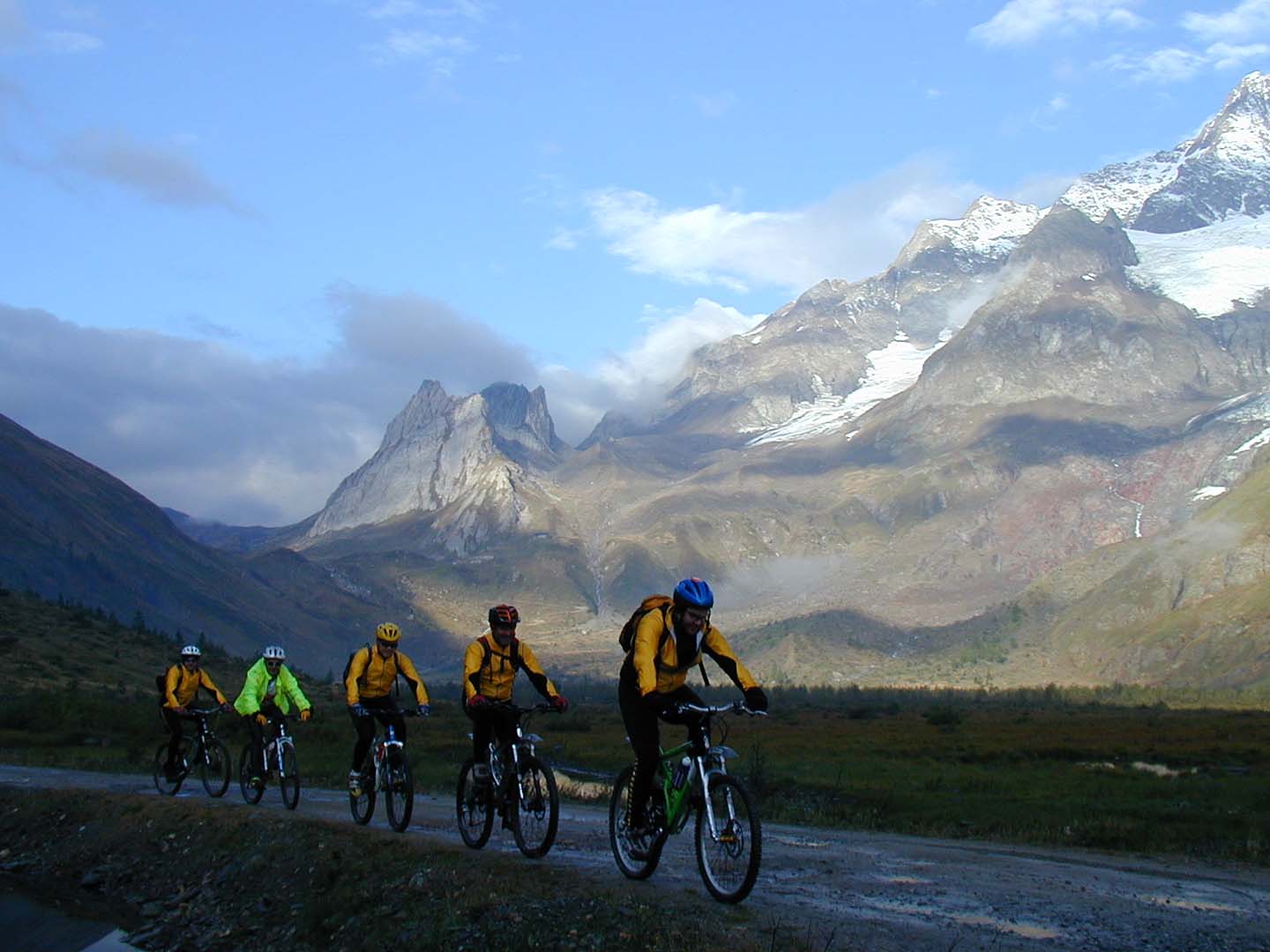
Accommodation: You can choose to stay in refuges, hotels or camp depending on which route you take.
Equipment: Maps (French IGN Top 25 3630OT & French IGN Top 25 3531ET), a bike repair kit and warm clothing. This is alpine riding and the weather can deteriorate very quickly.
An Itinerary Example: Starting from Chamonix
Variants of this classic tour have been developed which involve as little as 1 hour pushing in the 4 day trip. This route avoids as many of the unrideable parts as possible. It is still a very tough tour, and vehicle support is recommended. The total elevation gain is about 8000 metres including use of a cable car on the first day and a train on the last.
Day 1: Take the Balcon Sud in the direction of Les Houches then cross town to the Bellevue lift station. Take the lift to the top and then come down the Col de Voza; from there descend into the Bionnassay valley and zig-zag the hairpins down into the Contamines valley. Once there, continue south towards the Col du Bonhomme.
This track is not rideable at the summit and the descent is highly technical; so take the walking path on the left hand side or go right down in to the valley until you get to the road that goes to the Rosental lake. At the Rosental lake go by road in the direction of Chapieux. This road will take you to a really steep pass (La Culaz) which, by this point at the end of the day, will take a fair effort. Spend the night in the Nova hut or camp out.
Day 2: Set off again from the Nova hut heading east in the direction of the valley of the Col de la Seigne (2516m). This track is pretty harsh and ends up not cyclable for 200 or 300 metres from the summit of the pass. You'll get an extraordinary view from the top.
From the Col de la Seigne come down the footpath; it's difficult but do-able and finally ends up as a forest track that flanks the side of the Val Veni. You'll pass the huge Miage and Brenva glaciers. The track ends at Courmayeur. Take the road that goes up to Val Ferret. The road becomes a 4x4 track and snakes up to the Elena hut at 2062m.
Day 3: Behind the Elena refuge there is a hiking trail that leads to the Grand Col Ferret ( 2537 m). This section is not bike-able. You must walk your bike about 90m. From the top of the pass, the trail heads down a very steep and challenging slope towards Switzerland.
This becomes a forested track near the village of Ferret. From there, take the route that leads to Martigny. About 30km downhill! Stop in the village of Champex.
Day 4: From Champex continue on the Mont Blanc track towards the Col de la Forclaz. After the pass it's possible to get to "Les Jeurs" by road. For this itinerary, that leads to the border, take the only possible road on the left.
In "les Jeurs" the road becomes a 4x4 track that is easily rideable to the Col des Posettes - this marks your return to the Chamonix valley. From the top of the pass go down the forestry track to the village of Le Tour and return to Chamonix either by the Balcon Nord or by road.