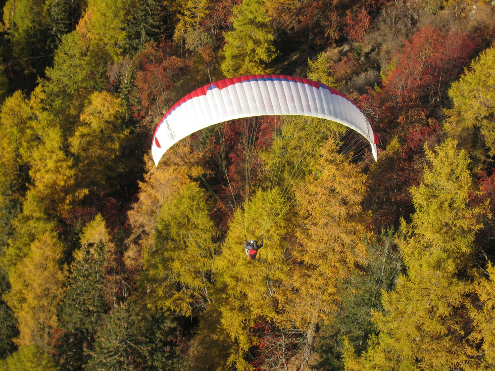
Directions: Take the Prarion cable car from Les Houches. Turn right when exiting the cablecar station, then follow the path "Grand Prarion" for half an hour. Take-off on your left. In the winter this is a skiing piste. It slopes gradually down towards Les Houches which is 900m (2,953ft) below.
Take-off tips: There's only room for one paraglider at a time. The breeze must be directly on because there isn't enough room to correct your wing.
Flight Details: It is possible to fly to the landing field in Chedde further down the valley. It is a long glide, flying over Servoz. On a good day some thermals can be found on the Servoz and Plaine Joux side of the valley.
It is also worth trying to fly over the valley to Park Merlet where the morning thermals can be strong permitting good height gains.
Prarion North East Launch
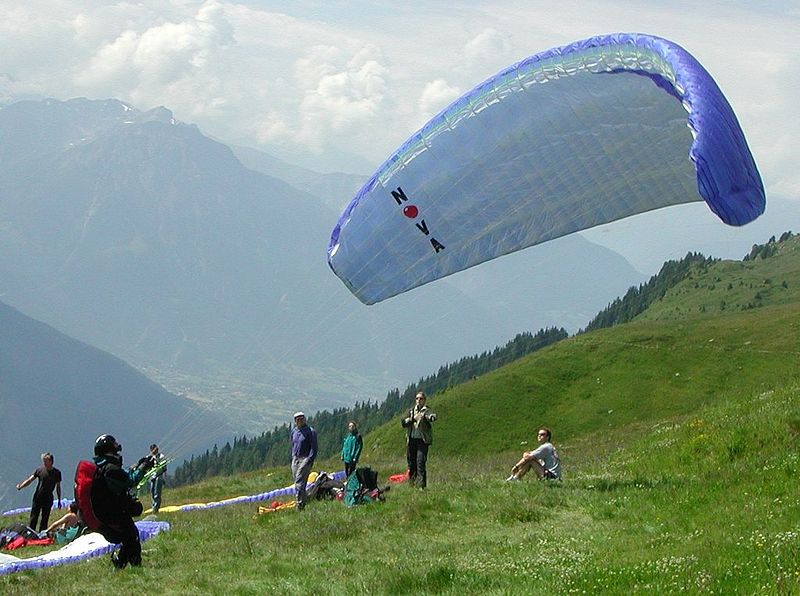
Directions - Take the Prarion cable car from Les Houches. Go to the drag lift area 100m from the cablecar station. As this area is a ski piste, take-off in winter is prohibited. Ask the lift company for info regarding an appropriate take-off spot in winter.
Restrictions - Be very careful with the landing field as negotiations to become a registered FFVL site are still in progress. Don't park or fold your glider on the path to the south of the landing field.
Merlet / Aiguillette des Houches region
Often used in the afternoon in thermodynamic and restitution conditions, this take-off site is usually reserved for experienced pilots.
Directions: Park at the Merlet animal park and then follow the path to "Aiguillettes des Houches" for 10 minutes.
Restrictions: Avoid flying over the Merlet animal parc.
Alternative Launch Sites
The two Les Houches cable cars give access to an enormous ridge stretching from Prarion all the way to the top of Mt Blanc.This is ideal for keen pilots on putting in a bit of effort for more adventurous and less well known take offs.
Some fantastic launching sites are
- Mt Lachat : 40mins left of the Bellevue cable car.
- Evening flying from Prarion - W wind take off 20mins from Prarion station ( walk track on right ).
For the more adventurous
- Tete Rousse: 3,167m (1,0390ft).
- Aiguille du Gouter: 3,800m (12,467ft).