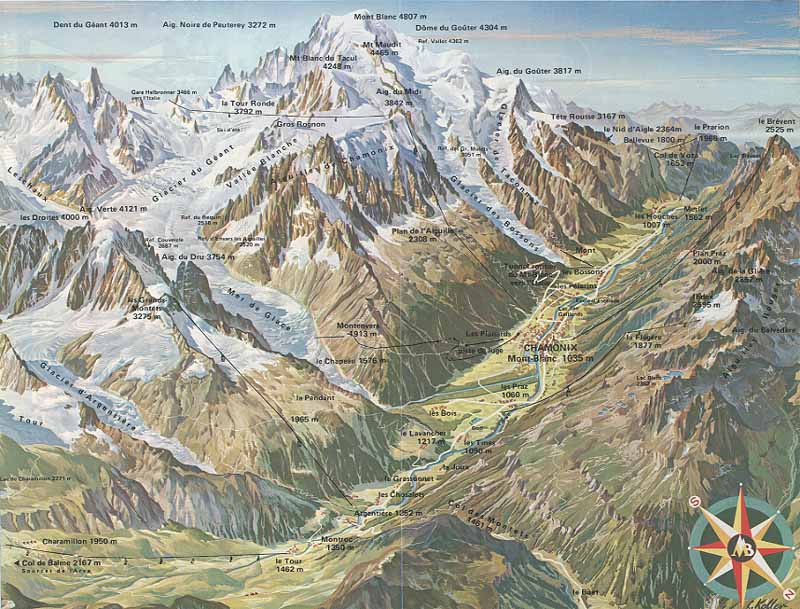
Chamonix-Mont-Blanc is a commune in the Haute Savoie department in the Rhone-Alpes region in the south-eastern part of France. It is situated near the massive peaks of the Aiguilles Rouges and the Aiguille du Midi. The north side of the summit of the Mont Blanc is part of Chamonix.
You can buy a folded, physical map of Chamonix that covers the entire northeastern half of the Mont Blanc Massif down to the Chamonix-Courmayeur tunnel by following IGN map Chamonix Massif du Mont Blanc 3630 OT. Great representation of Chamonix, easily recognizable mountain features, crevasses, moraines and rockfall zones.
For the southwestern half (St-Gervais - Les Bains - Massif du Mont Blanc) there is another great map. Check it out by following IGN map Saint Gervais Les Bains Massif du Mont Blanc 3531 ET.
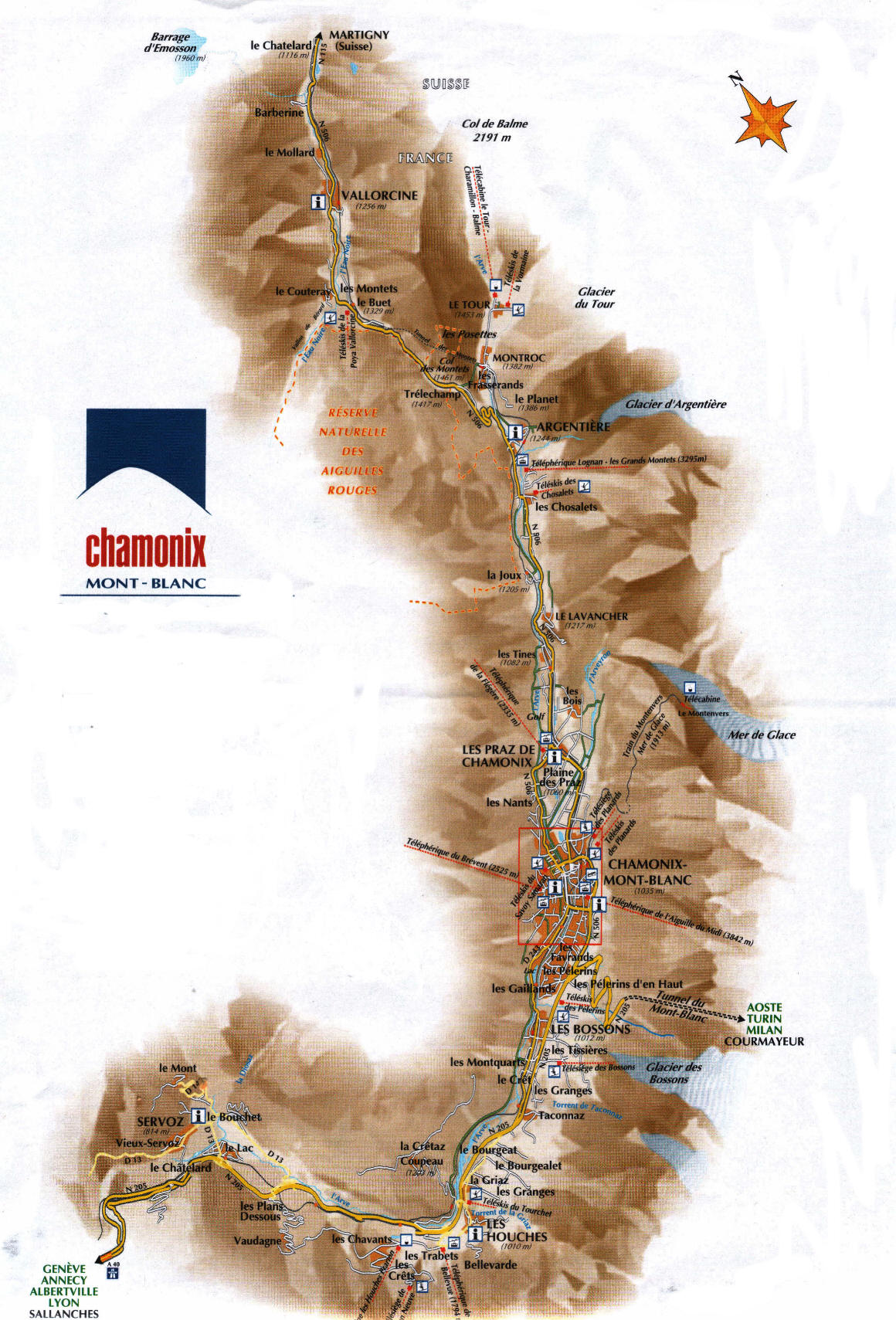
The commune of Chamonix-Mont-Blanc includes 16 villages and hamlets, namely Le Tour (1462m), Montroc, Le Planet, Argentiere (1252m), Les Chosalets, Les Tines, Les Bois, Les Praz de Chamonix (1060m), Chamonix-Mont-Blanc, Les Pecles, Les Mouilles, Les Barrats, Les Pelerins, Les Gaillands, Les Bossons and Les Houches.
Chamonix-Mont-Blanc is the fourth largest commune in mainland France.
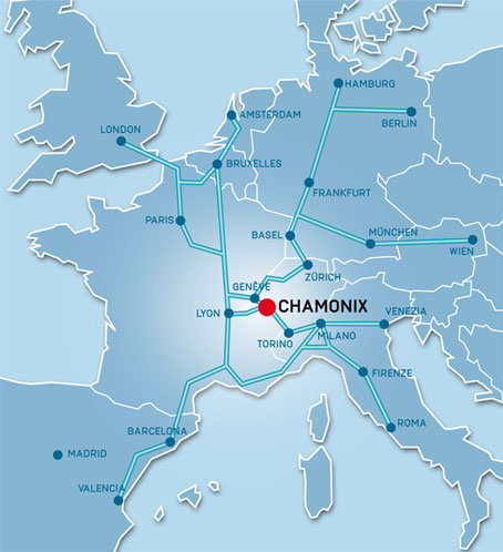
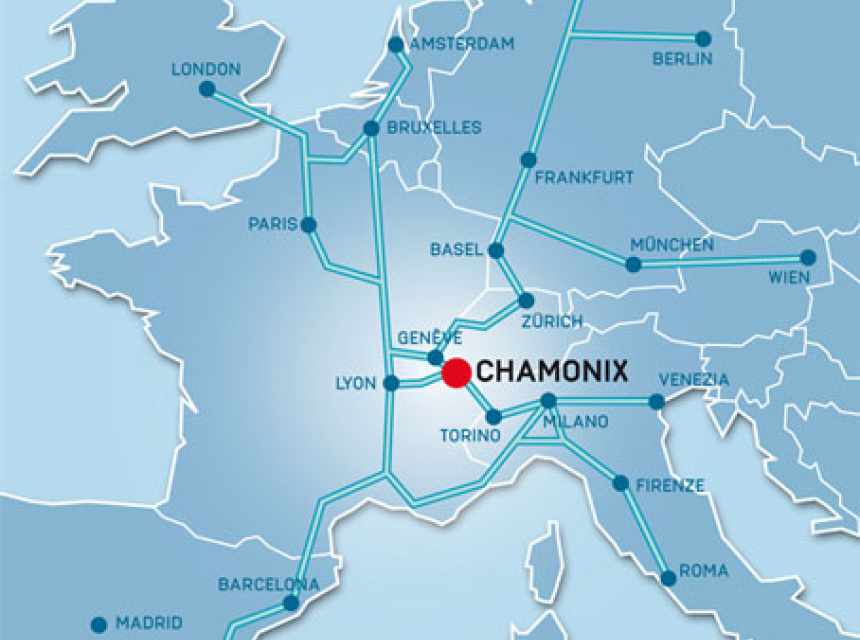
Download Chamonix Valley's maps: